
 EN
EN
 ar
ar bg
bg hr
hr cs
cs da
da nl
nl fi
fi fr
fr de
de el
el hi
hi it
it ko
ko no
no pl
pl pt
pt ro
ro ru
ru es
es sv
sv tl
tl iw
iw id
id lv
lv lt
lt sr
sr sk
sk sl
sl uk
uk vi
vi et
et hu
hu th
th tr
tr fa
fa ms
ms hy
hy ka
ka ur
ur bn
bn mn
mn ta
ta kk
kk uz
uz ku
ku
Magnetic Ring Settlement Water Level Gauge
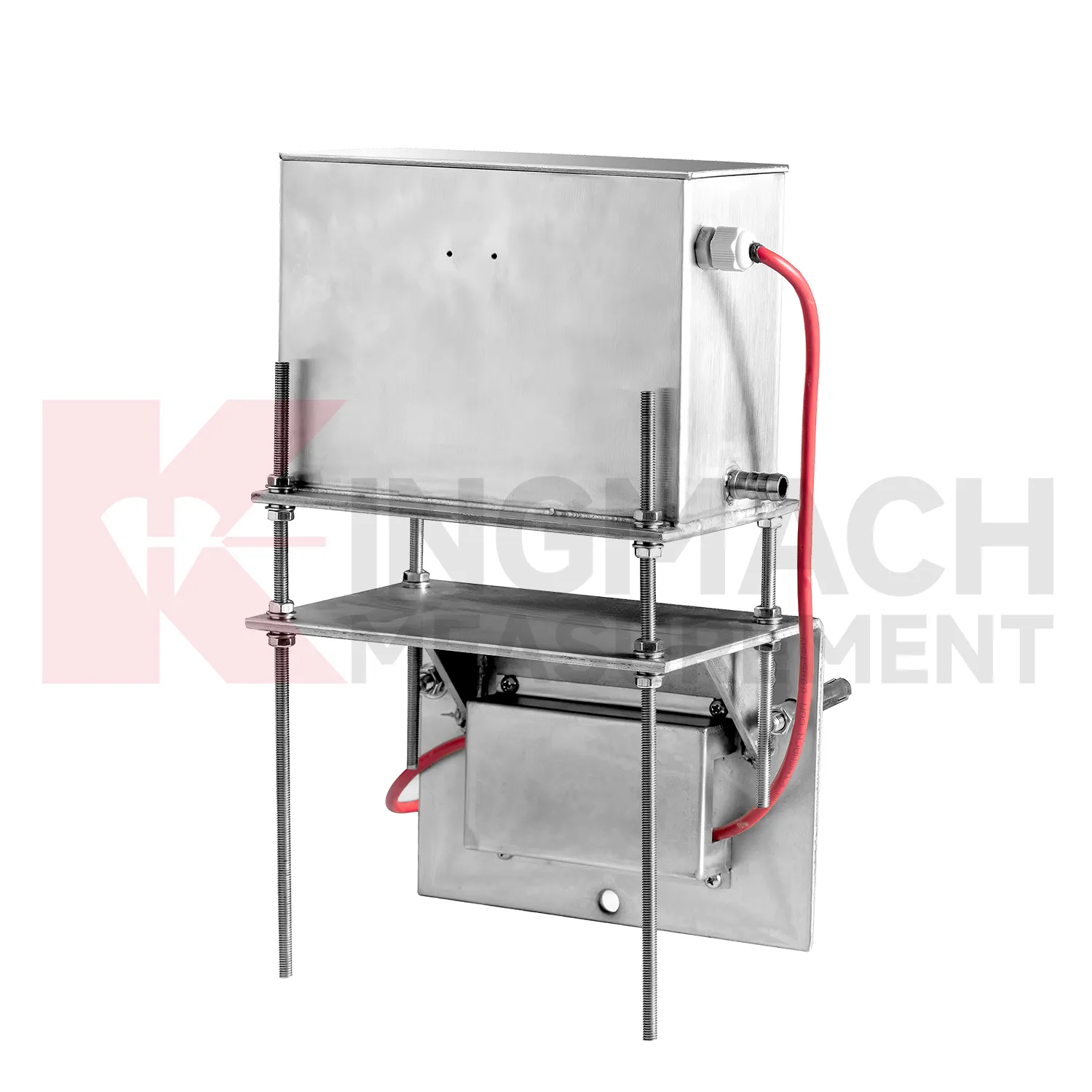
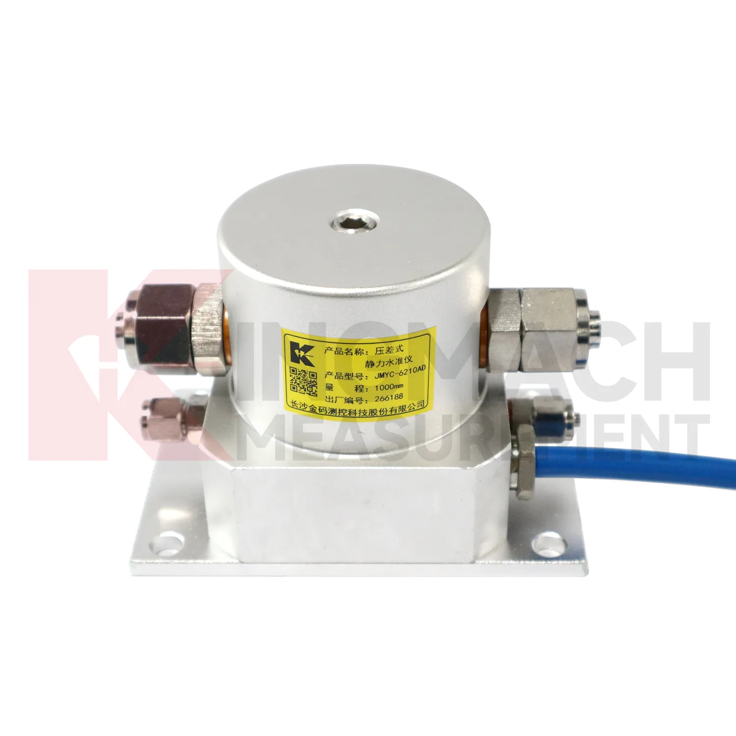
The JMYC-62XXAD wide-range differential pressure hydrostatic level sensor extends Kingmach Magnetic Ring Settlement Water Level Gauge into projects where settlement may be too large for micro range instruments. It works as a reference-point hydrostatic system for uneven pavement settlement, nonlinear cross-section settlement, soft foundation treatment, land reclamation foundations, dam settlement, bridge deflection, slope stability, and building settlement. Published specifications include 500 mm, 1000 mm, 2000 mm, and 4000 mm ranges, 0.1 mm resolution, 0.2%FS accuracy, RS485 output, DC 9V to 24V supply, power consumption below 0.5W, and an operating temperature from -30 degrees Celsius to +80 degrees Celsius. The instrument is especially relevant when a profile may keep moving during filling, preloading, or staged construction. Planning should define the fixed reference point first, then divide the section into measuring locations that can reveal uneven deformation. Cable protection, cabinet access, sensor elevation, and construction vehicle paths need early coordination. When the data is reviewed later, the wide range helps distinguish gradual consolidation from sudden local movement across a road, reclamation area, or embankment section.
Application of Magnetic Ring Settlement Water Level Gauge
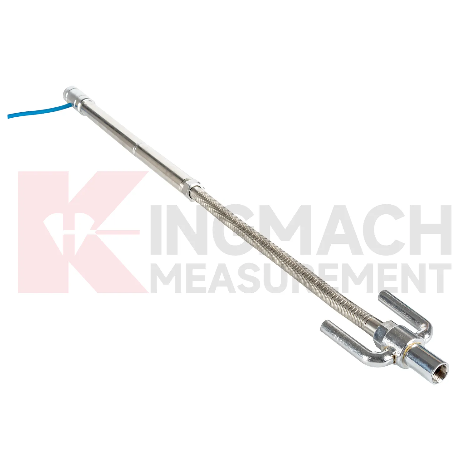
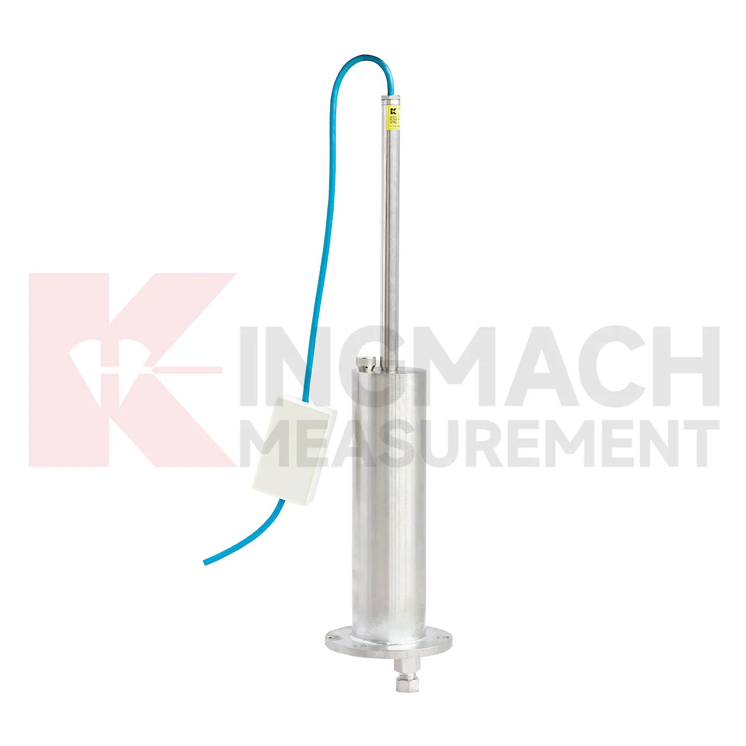
Pile foundations, dykes, and embankments use Magnetic Ring Settlement Water Level Gauge to verify vertical response during loading, filling, or long-term service. Kingmach JMDL-47XXAT is described for pile foundation settlement, dyke compression deformation, embankment heave, roadbed settlement, and base uplift in deep foundation pits. Its assembly includes a settlement plate, electrical displacement sensor, measuring rod with metal flexible conduit, anchor head, extension rod, and bottom anchor head. Published range options are 100 mm, 200 mm, 300 mm, and 400 mm, with gauge lengths from 760 mm to 2210 mm. Because the sensor is embedded, the installation record is almost as important as the reading itself. Crews should document depth, plate position, rod connection, cable exit, protection method, and nearby fill material before the location is covered. During loading, the curve can be checked against fill height, pile test stage, water condition, and surface survey marks. The side-exit cable arrangement helps reduce interference during pavement compaction, which is useful when monitoring must continue as construction equipment passes over the area.
The future of Magnetic Ring Settlement Water Level Gauge
Future Magnetic Ring Settlement Water Level Gauge will use smarter edge checking before data reaches the main platform. A sudden settlement jump may come from real ground movement, but it may also come from a disturbed tube, loose cable, air pocket, dewatering activity, cabinet work, or reference point change. Acquisition units can compare settlement rate, water level, rainfall, temperature, and nearby channels before marking a value as reliable. Kingmach products with RS485 output and automated acquisition compatibility already provide a basis for this kind of review. For remote railway subgrades, dams, tunnels, and slopes, early filtering can reduce unnecessary field visits while still flagging readings that need inspection. The aim is not to hide abnormal movement, but to separate data-chain faults from structural behavior faster. The practical goal is to keep settlement data understandable after the original installation crew has left, so owners can compare old and new readings without reconstructing the field history from memory. The same record should remain readable for designers, contractors, owners, and maintenance teams, because settlement monitoring often continues long after the first construction report is finished.
Care & Maintenance of Magnetic Ring Settlement Water Level Gauge
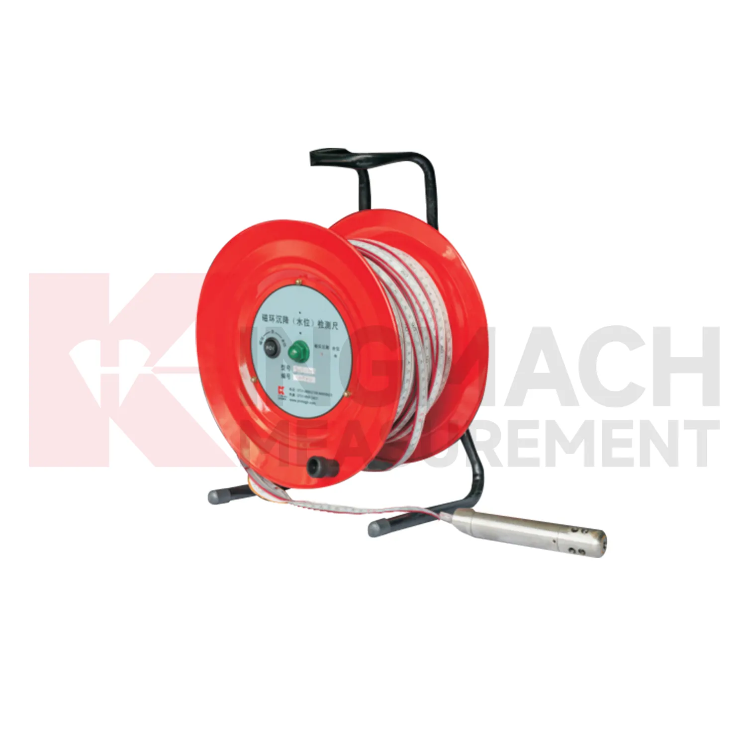
Manual-reading Magnetic Ring Settlement Water Level Gauge should follow a repeatable procedure every visit. Use the same reference mark, reading direction, tape handling method, waiting time, and data sheet format. This is especially important for magnetic ring settlement gauges and borehole water level readings, where inconsistent field practice can create false changes. Record operator, weather, groundwater condition, borehole obstruction, battery condition, and any unusual sound or visual indication from the alert system. Do not round readings differently from one visit to the next. If manual data is later entered into software, keep the original field notes available for checking. Manual monitoring can be reliable over many years when the process is simple, dated, and boringly consistent. The goal is repeatability, not speed.
Kingmach Magnetic Ring Settlement Water Level Gauge
Magnetic Ring Settlement Water Level Gauge are not only construction instruments; they also support long-term asset management. A bridge, dam, subway, railway, building, or embankment can continue moving slowly after the main construction phase is complete. Kingmach settlement products can help owners compare early baseline readings with later operation-stage data. The important question is whether movement has stopped, slowed, restarted, or changed after water level, traffic load, rainfall, excavation, or repair work. A clean settlement record should include cumulative value, daily or monthly rate, reference condition, sensor status, and inspection notes. When the same point is reviewed for years, small changes become easier to interpret. Without that record, later teams may waste time rediscovering what the original installers already knew. Over time, this disciplined record helps owners separate normal consolidation from renewed settlement caused by water, load, excavation, or long-term material behavior. Over time, this disciplined record helps owners separate normal consolidation from renewed settlement caused by water, load, excavation, or long-term material behavior.
FAQ
Q: How should Magnetic Ring Settlement Water Level Gauge be maintained?
A: Check reference points, tubes, cables, seals, settlement plates, anchors, probes, cabinets, and channel names at planned intervals.
Q: Should zero values be reset casually?
A: No. A reset can hide real settlement. If a reset is necessary, record the reason, time, old baseline, and new baseline.
Q: What data should be reviewed with settlement?
A: Rainfall, groundwater, excavation depth, filling stage, traffic loading, tilt, displacement, strain, and load data can all help explain settlement changes.
Q: What signs suggest a data issue?
A: Flat lines, sudden jumps after maintenance, impossible values, repeated communication gaps, or disagreement with nearby points may indicate instrument or data-chain problems.
Q: What makes a settlement report useful?
A: A useful report includes point location, model, range, baseline, reference point, latest reading, cumulative settlement, rate of change, and field notes.
Reviews
James Thompson
The tiltmeters and accelerometers are very sensitive and provide precise data. Perfect for our structural health monitoring system.
Matthew Garcia
Instrumentation cables are durable and perform well even in harsh environments. Will definitely order again.
Latest Inquiries
To protect the privacy of our buyers, only public service email domains like Gmail, Yahoo, and MSN will be displayed. Additionally, only a limited portion of the inquiry content will be shown.
Emma***@gmail.comCanada
Dear Sir/Madam, we are interested in displacement transducers and settlement sensors for a geotechni...
Evelyn***@gmail.comSouth Africa
Hi, we are a contractor working on tunnel construction and need settlement sensors and displacement ...
Related product categories
- Micro Range Hydrostatic Level Sensor
- Single-point Settlement Meter
- Optical Deflection Monitor
- Inclinometer-based Hydrostatic Leveling System
- Settlement Monitoring Rod
- Hydrostatic Leveling System
- Photoelectric Deflectometer
- gnss settlement sensors
- settlement sensor
- settlement sensors
- rod settlement gauge
- settlement gauge