
 EN
EN
 ar
ar bg
bg hr
hr cs
cs da
da nl
nl fi
fi fr
fr de
de el
el hi
hi it
it ko
ko no
no pl
pl pt
pt ro
ro ru
ru es
es sv
sv tl
tl iw
iw id
id lv
lv lt
lt sr
sr sk
sk sl
sl uk
uk vi
vi et
et hu
hu th
th tr
tr fa
fa ms
ms hy
hy ka
ka ur
ur bn
bn mn
mn ta
ta kk
kk uz
uz ku
ku
tiltmeter monitoring
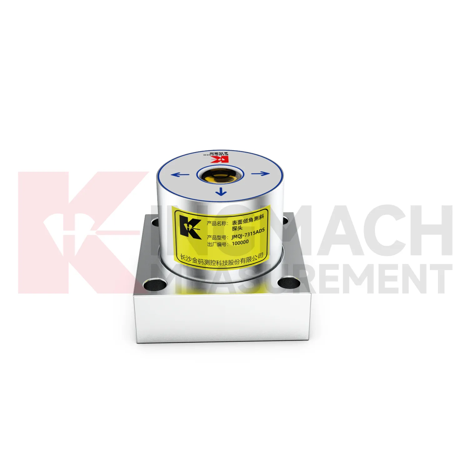
The JMQJ-7315ADS fixed tiltmeter is a key Kingmach tiltmeter monitoring product for biaxial structural tilt monitoring. It uses MEMS technology, a high-precision acceleration integrated chip, differential measurement principles, 16-bit AD sampling, RS485 digital communication, a unique electronic code, and lightning protection design. The product is used to observe inclination angle change and deformation of bridges, buildings, railways, and other structures relative to the horizontal plane, including hidden parts that are difficult to observe by conventional methods. Published specifications include +/-15 degrees dual-axis measuring range, 0.001 degree resolution, 0.01 degree accuracy, DC 9V to 24V supply, power consumption below 0.5W, RS485 digital output, -30 degrees Celsius to +80 degrees Celsius operating environment, 55 mm by 55 mm by 46 mm dimensions, IP68 protection, and 0.6 kg weight.
Application of tiltmeter monitoring
Foundation pit projects use tiltmeter monitoring to monitor retaining wall rotation, support system response, adjacent building tilt, and deep ground movement during excavation. JMQJ-7315ADS can track angular change on exposed structures, while JMQJ-7915ATS can monitor multi-depth deformation inside a borehole. The excavation sequence, dewatering records, support installation dates, rainfall, and nearby settlement points should be reviewed beside the tilt data. If a retaining wall rotates while pore pressure or support force changes at the same time, the pattern deserves closer site checking. A practical layout marks the positive and negative axis direction before excavation begins, protects cables from machinery, and keeps baseline readings tied to excavation depth. This helps the monitoring team separate normal staged movement from a trend that may need immediate engineering review.
The future of tiltmeter monitoring
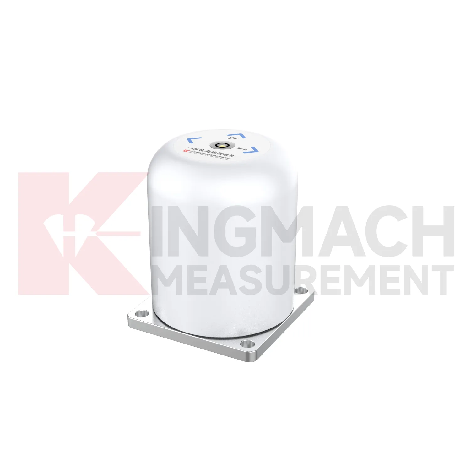
Low-power acquisition will matter more for future tiltmeter monitoring in remote or difficult sites. JMQJ-7915ATS includes a low-power mode that powers sensors only during measurement, and JMQJ-7315RTU uses battery-based wireless operation. These features are important for slopes, dams, railways, and temporary construction areas where mains power or frequent access may be limited. Future systems will likely use smarter wake-up intervals, battery health reporting, and power-aware sampling plans. The goal is not to reduce monitoring quality; it is to match energy use to the risk level and deformation speed. A stable slope may need slower readings, while an active excavation or storm period may need denser data. Power planning will become part of measurement planning.
Care & Maintenance of tiltmeter monitoring
Data review is part of maintaining tiltmeter monitoring. A curve should be checked for rate, direction, sudden jumps, missing values, repeated flatlines, and disagreement with nearby instruments. Compare tilt with settlement, displacement, strain, load, pore pressure, rainfall, vibration, and water level when available. For automated systems, verify channel names, units, time stamps, and alarm thresholds after platform changes. For manual readings, keep raw field notes and processed graphs together. If an alarm appears, inspect the mounting point, communication path, recent site work, and related instrument behavior. A good maintenance process treats data quality and field condition as one record, not two separate tasks.
Kingmach tiltmeter monitoring
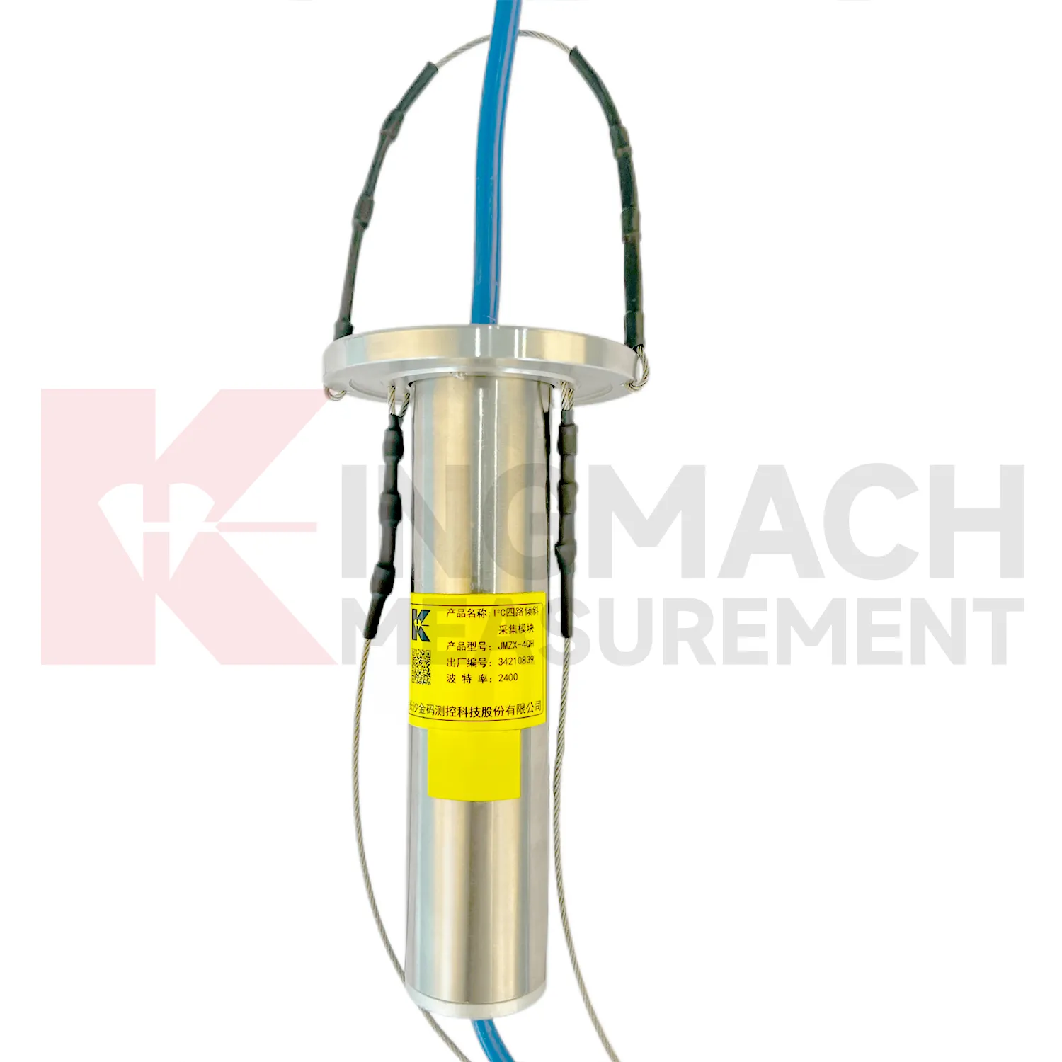
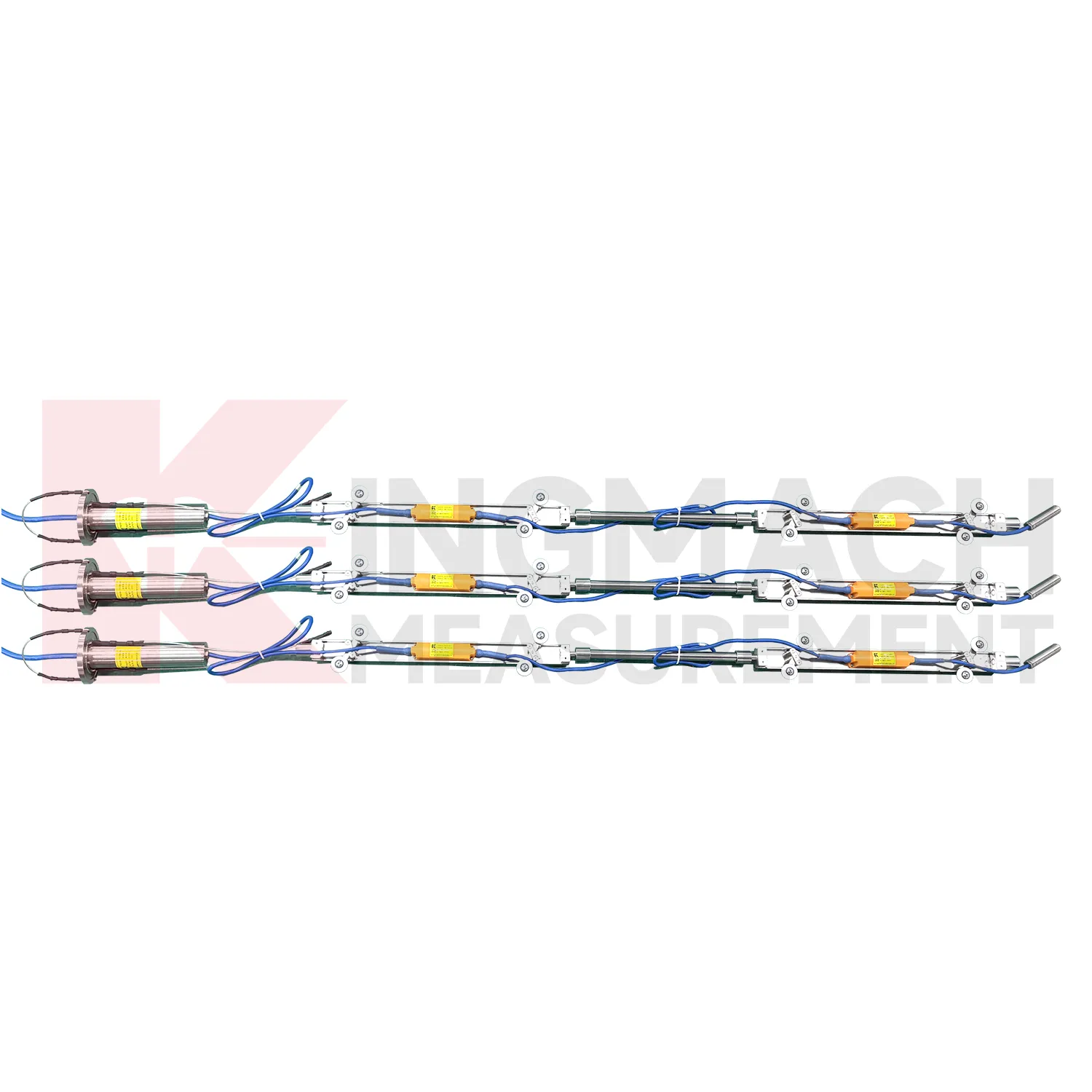
For procurement teams, Kingmach tiltmeter monitoring are not one single instrument type. The product group includes JMQJ-7315ADS fixed tilt sensors, JMQJ-7315RTU integrated wireless tilt units, JMQJ-7915ATS vertical in-place inclinometer systems, JMZX-7100L sliding inclinometers, and JMZX-4QH inclination acquisition modules. Each serves a different monitoring method. A fixed tiltmeter follows one structural point. A wireless integrated unit reduces site wiring. A vertical in-place system reads multiple depths in a borehole. A sliding inclinometer supports field profiling inside inclinometer casing. An acquisition module collects many downhole sensors through grouped communication. A good purchase record should match range, accuracy, communication mode, protection grade, power supply, installation method, and site access. That makes the instrument package easier to install, verify, and maintain after delivery.
FAQ
Q: How accurate is the JMQJ-7315ADS tiltmeter?
A: The product page lists 0.001 degree resolution and 0.01 degree accuracy for the +/-15 degree dual-axis model.Q: What protection grade does JMQJ-7315ADS have?
A: It is listed with IP68 waterproof protection and an operating environment from -30 degrees Celsius to +80 degrees Celsius.Q: What range does JMQJ-7315RTU provide?
A: The integrated wireless model lists +/-30 degree and +/-15 degree dual-axis range options, with 0.001 resolution.Q: How many sensors can JMZX-4QH support?
A: The module lists four channels and support for up to 100 sensors in a multi-point inclinometer system.Q: What is the guide wheel spacing for JMZX-7100L?
A: The sliding inclinometer page lists a 500 mm guide wheel spacing reference and a +/-90 degree sensor range.
Reviews
Joshua Clark
We ordered a full monitoring solution including sensors and data loggers. Everything works seamlessly together. Great supplier!
Ryan Lewis
Fast delivery and excellent product quality. The accelerometers and tiltmeters are highly reliable. Strongly recommend this company.
Latest Inquiries
To protect the privacy of our buyers, only public service email domains like Gmail, Yahoo, and MSN will be displayed. Additionally, only a limited portion of the inquiry content will be shown.
Evelyn***@gmail.comSouth Africa
Hi, we are a contractor working on tunnel construction and need settlement sensors and displacement ...
Ava***@gmail.comAustralia
Hi, I am looking for reliable tiltmeters and accelerometers for structural health monitoring. Please...